Historical Archive
Hand-curated maps and sounding charts, individually verified (real source, real license) rather than pulled automatically. This is intentionally small — see the note below on what exists but couldn't be included.
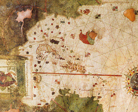
Carta Universal (Caribbean detail)
1500 · Map
Detail from Juan de la Cosa's map -- the oldest surviving map that unambiguously shows the Caribbean. De la Cosa sailed with Columbus as captain of the Santa María. Nothing earlier survives; this is as close to a 15th-century Caribbean map as exists.
De la Cosa was a Basque navigator who owned and captained the Santa Maria before it wrecked on Columbus's first voyage. He drew this chart from firsthand experience of four transatlantic crossings, making it as much a personal record as a map.
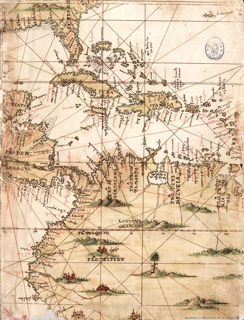
Mapa del Caribe y América Central
1500s · Map
16th-century manuscript map showing the Florida peninsula, Caribbean islands, and northern South America.
An anonymous 16th-century manuscript map from the earliest wave of Spanish charting of the Caribbean basin, made as imperial administrators and pilots worked to formalize what Columbus's voyages had only sketched.
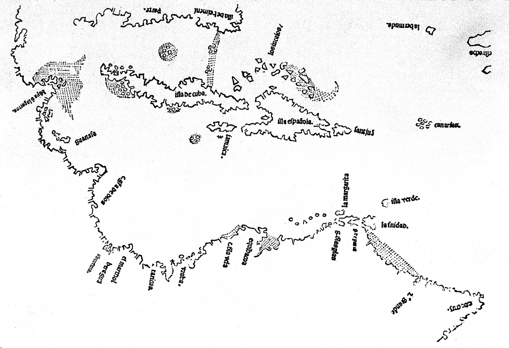
Map of the 16th-century Caribbean
1500s · Map
16th-century map of the Caribbean basin, Wellcome Collection.
Held by the Wellcome Collection, whose historical map holdings trace largely back to Sir Henry Wellcome's early-20th-century collecting of medical and scientific history -- explaining why a pharmaceutical magnate's archive holds a Caribbean chart.
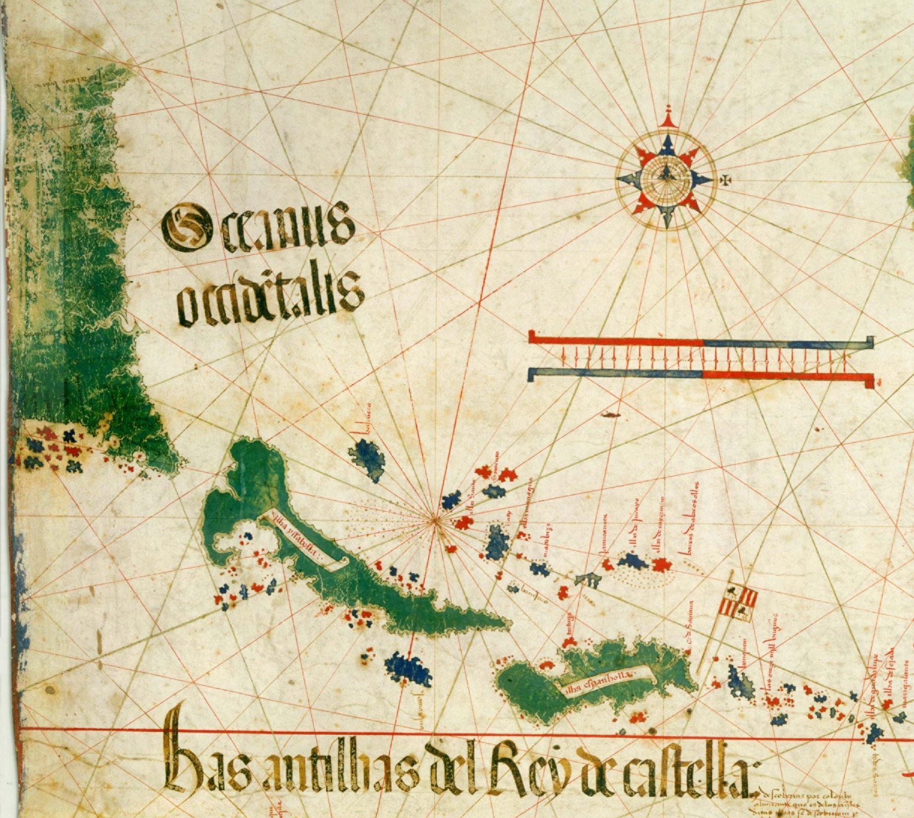
Cantino Planisphere (Caribbean detail)
1502 · Map
Detail showing Cuba, Hispaniola, Puerto Rico and other Caribbean islands from the Cantino Planisphere -- smuggled out of Portugal in 1502 by an Italian spy.
Alberto Cantino was an agent for the Duke of Ferrara, sent to Lisbon specifically to smuggle out Portugal's closely-guarded discoveries. He paid an anonymous cartographer for this copy and shipped it home in 1502 -- an early act of industrial espionage in the map trade.
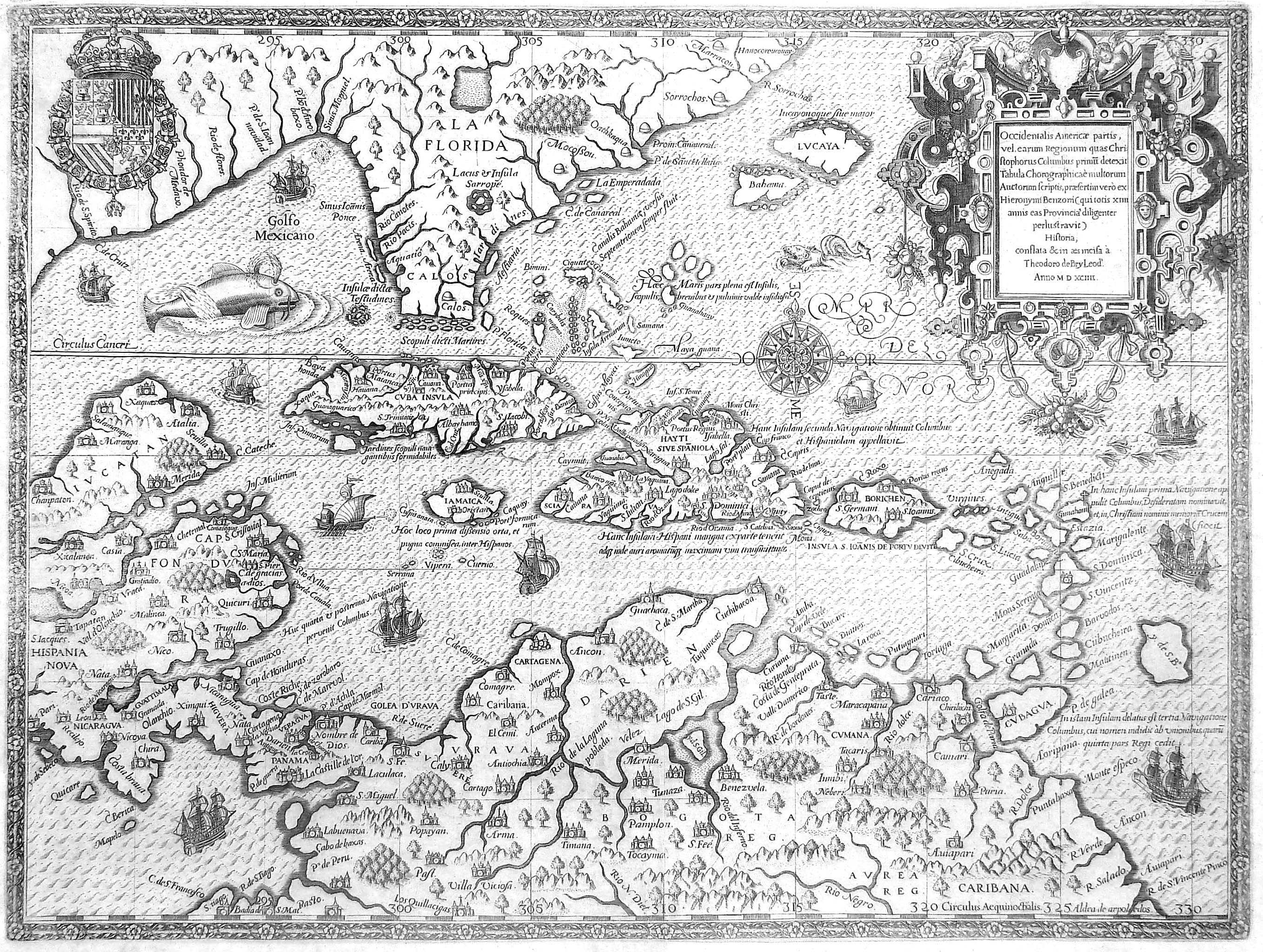
Central America (Theodor de Bry)
1594 · Map
Theodor de Bry's engraved map of Central America and the Caribbean, from his famous illustrated voyage compilations.
Theodor de Bry was a Flemish Protestant engraver who fled religious persecution and settled in Frankfurt, where his illustrated "Grands Voyages" compilations became Europe's dominant visual source for the Americas -- shaping how an entire continent imagined the New World.
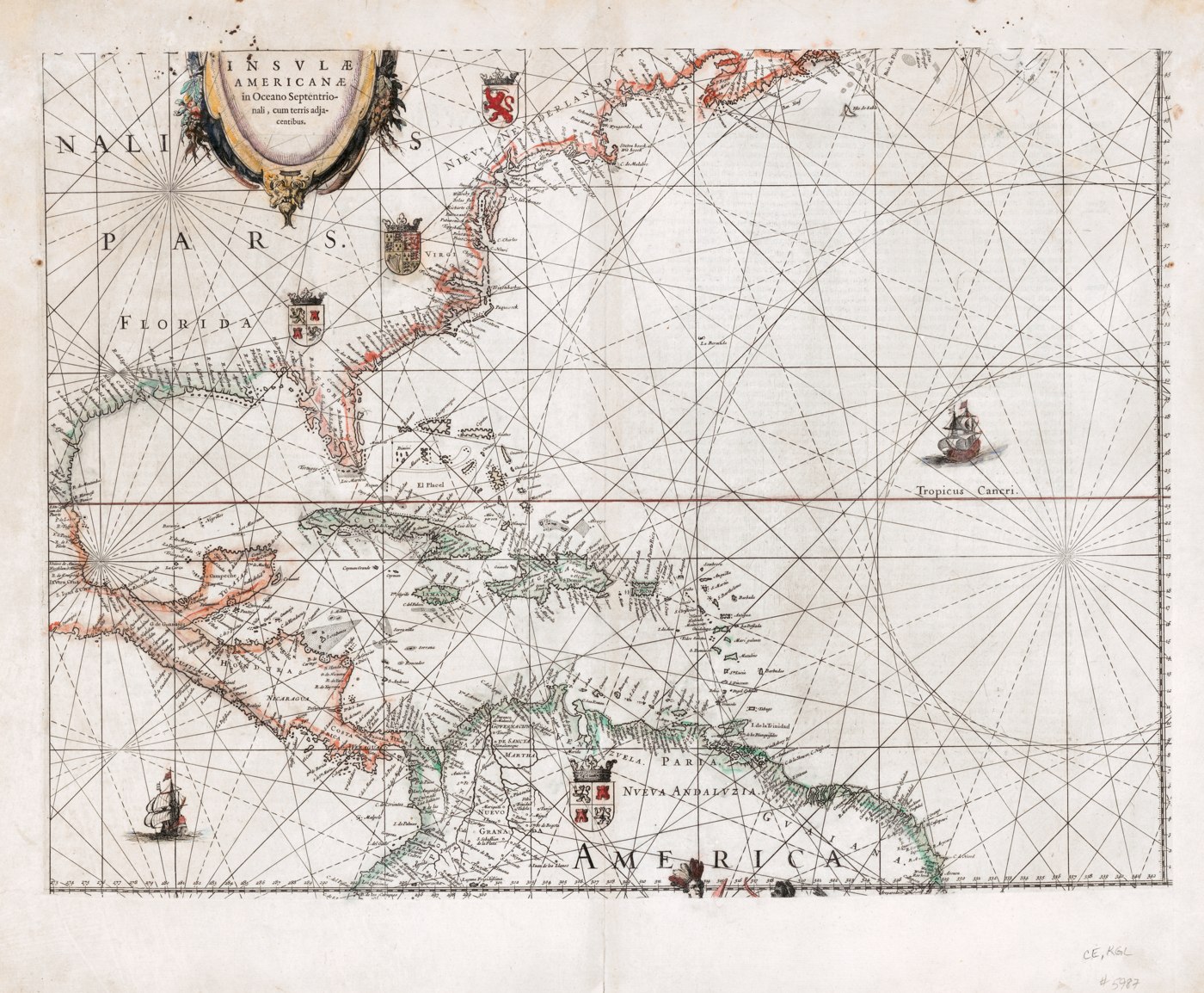
Insulae Americanae in Oceano Septentrionali cum terris adjacentibus
1634 · Map
Willem Janszoon Blaeu (Amsterdam) -- one of the most iconic Dutch Golden Age maps of the Americas and Caribbean.
Willem Blaeu founded what became the most celebrated map-publishing dynasty of the 17th century; his son Joan later expanded the firm into the largest publishing house in the world. This map represents Dutch cartography at its commercial and artistic peak.
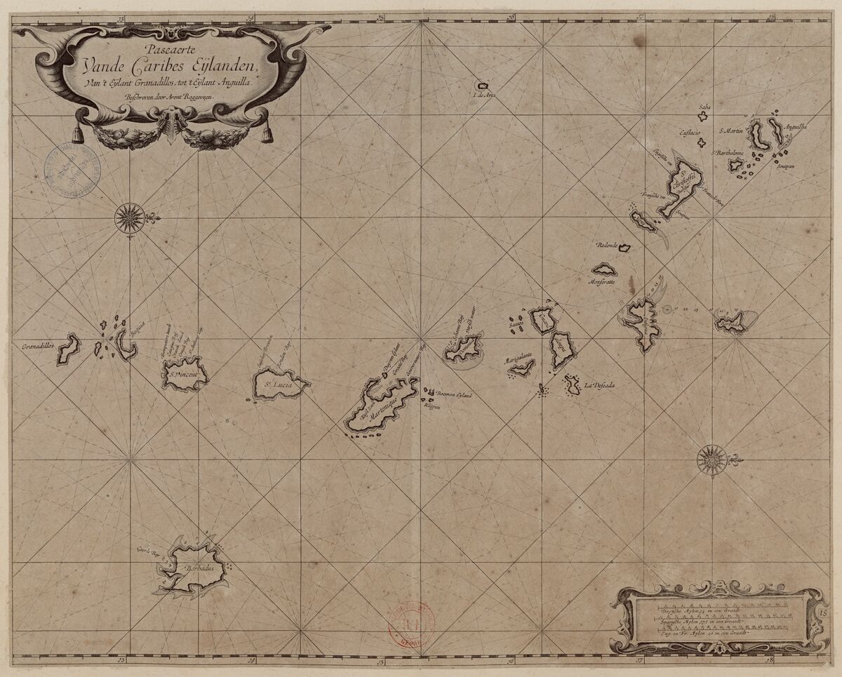
Pascaerte van de Caribes Eylanden, van 't Eylant Granadillos, tot 't Eylant Anguilla
1675 · Map
A Dutch nautical chart of the Lesser Antilles, from Grenada to Anguilla, by Arent Roggeveen -- a real 17th-century Dutch cartographer and ship's pilot (his son Jacob later became famous for the European discovery of Easter Island).
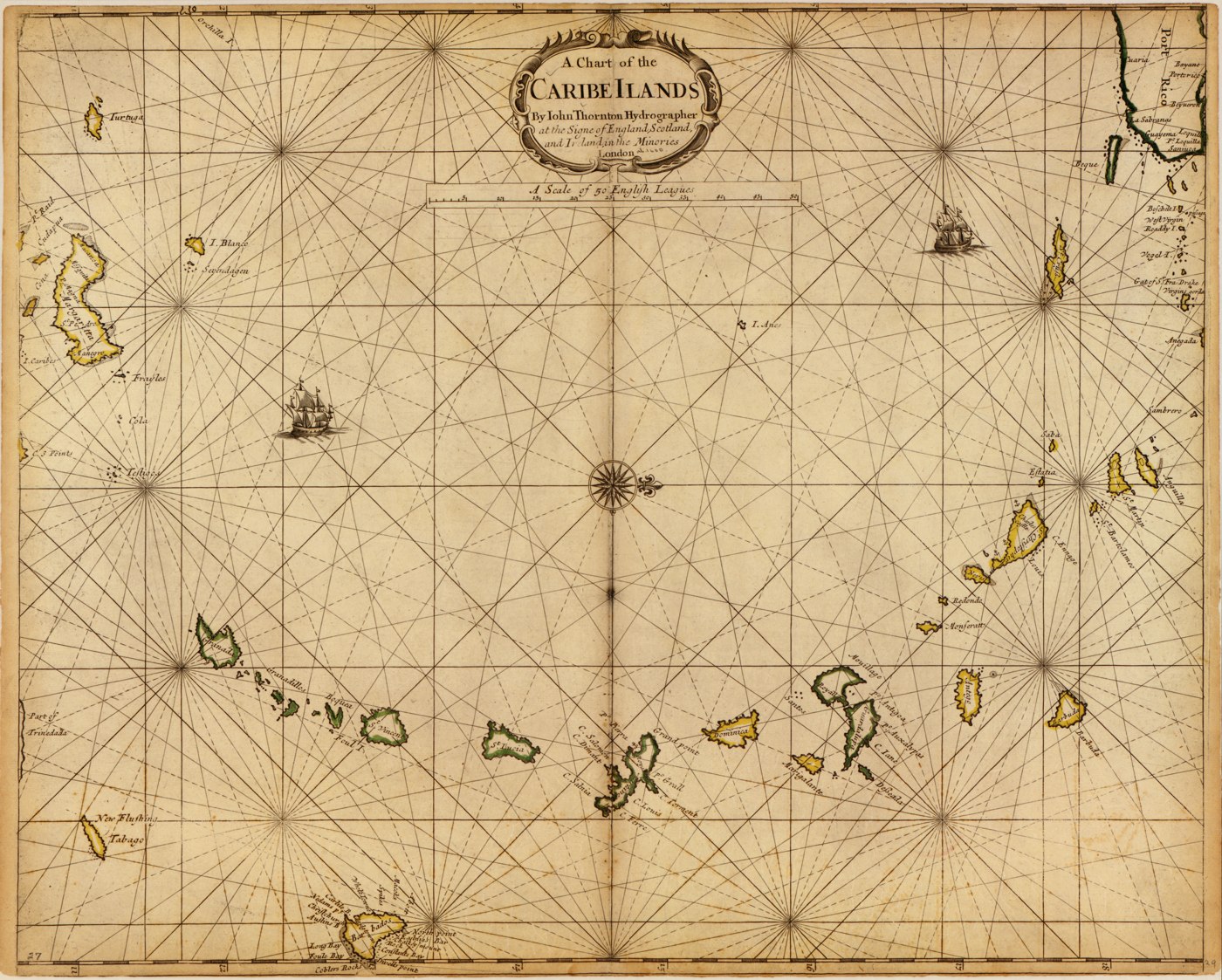
A chart of the Caribe Ilands
1680 · Map
John Thornton, London -- English maritime chart of the Caribbean.
John Thornton was the leading English chart-maker of the late 17th century and official hydrographer to both the East India Company and Hudson's Bay Company -- a sign of how English maritime power was catching up to the Dutch by 1680.
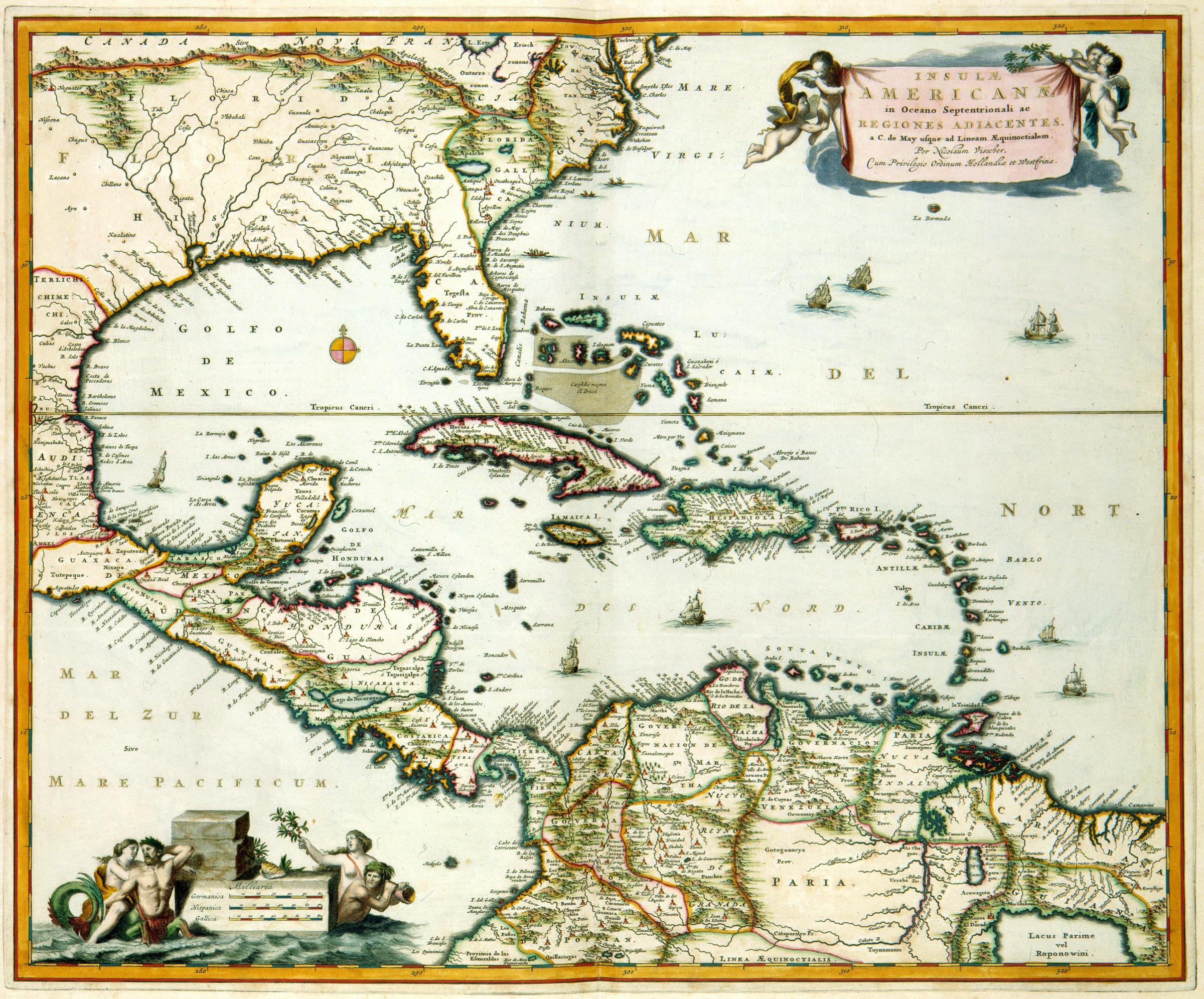
Insulae Americanae in Oceano Septentrionali
1681 · Map
17th-century Dutch map of Central America and the Caribbean, held by the Dutch Royal Library.
Held by the Koninklijke Bibliotheek, the Dutch Royal Library, from the height of the Dutch Golden Age -- when Amsterdam briefly rivaled and then overtook the older Iberian cartographic houses as Europe's mapmaking capital.
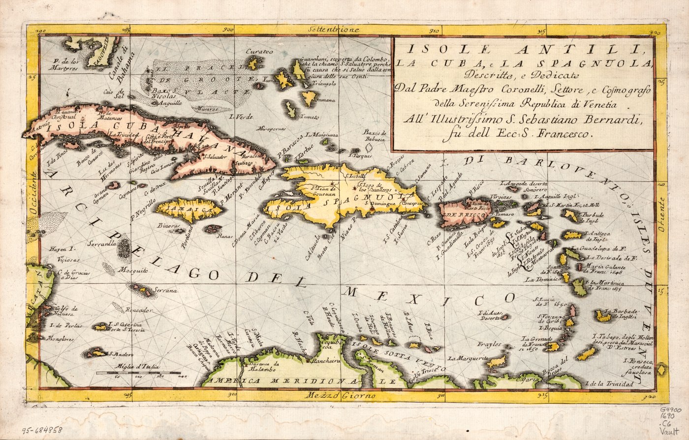
Isole Antili, la Cuba e la Spagnuola
1690 · Map
Vincenzo Coronelli, Venice -- Italian map of the Antilles, Cuba, and Hispaniola.
Vincenzo Coronelli was a Franciscan friar who became official cosmographer of the Republic of Venice and later founded one of the world's first geographical societies. He's better remembered for his enormous globes than his charts, but this map shows the same meticulous draftsmanship.
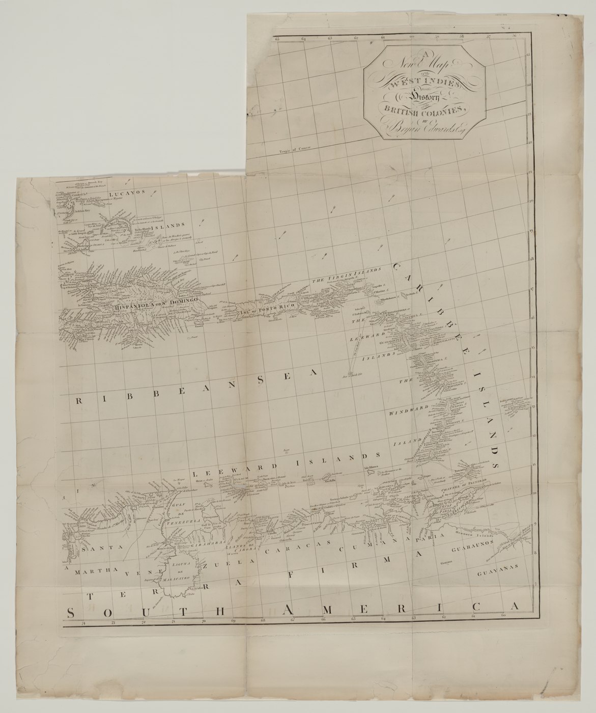
New map of the West Indies for the history of the British colonies
1700s · Map
Bryan Edwards -- accompanied his landmark "History, Civil and Commercial, of the British Colonies in the West Indies."
Bryan Edwards was a planter and slaveholder whose "History, Civil and Commercial, of the British West Indies" became the standard British reference on the region for decades -- shaping metropolitan understanding of the Caribbean even as it defended the plantation system that built Edwards's own fortune.
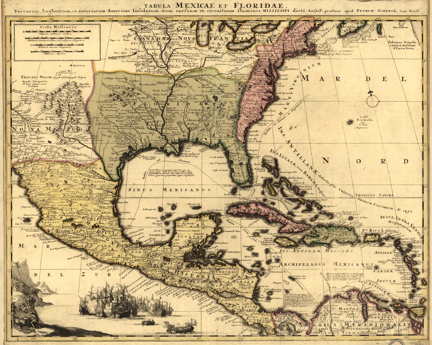
Tabula Mexicae et Floridae
1710 · Map
Peter Schenk, Amsterdam -- Dutch map of Mexico, Florida, and the surrounding American islands.
Peter Schenk was part of Amsterdam's prominent Schenk publishing house, which specialized in acquiring and reissuing older Dutch copperplates -- meaning much of what looks like fresh 1710 cartography is actually inherited from earlier 17th-century originals.
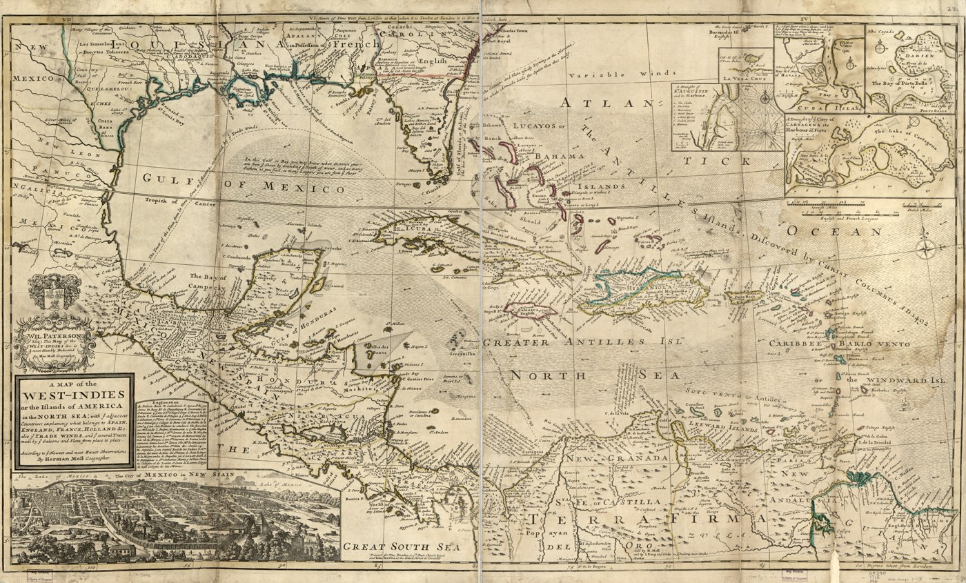
A map of the West-Indies or the islands of America in the North Sea
1715 · Map
Herman Moll and Thomas Bowles -- shows English, French, Spanish, and Dutch territorial claims across the Caribbean, plus galleon/flota trade routes.
Herman Moll was a German engraver who settled in London and became one of the most popular English mapmakers of his day, known for filling his charts with opinionated marginal notes about territorial disputes -- visible here in how explicitly it marks out English, French, Spanish, and Dutch claims.
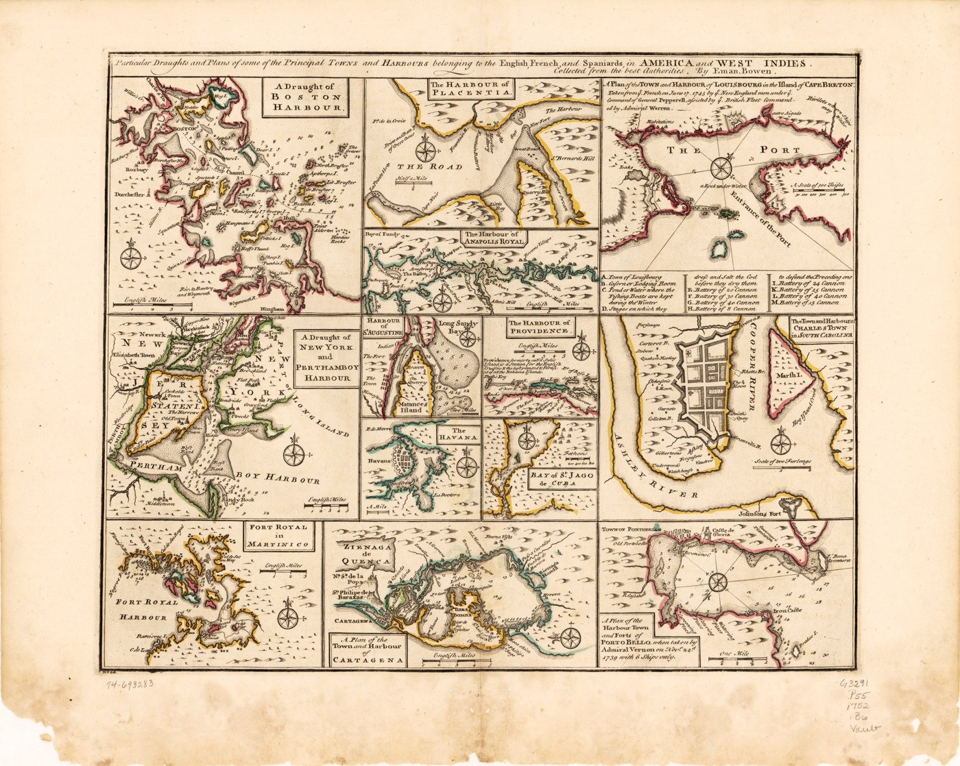
Particular draughts and plans of some of the principal towns and harbours belonging to the English, French, and Spaniards, in America and West Indies
1752 · Map
Emanuel Bowen, London -- harbor plans across the West Indies.
Emanuel Bowen served as royal cartographer to both King George II and Louis XV of France simultaneously, an unusual dual appointment for the era. He was also apprentice-master to Thomas Jefferys, whose own West Indies atlas appears elsewhere in this archive.
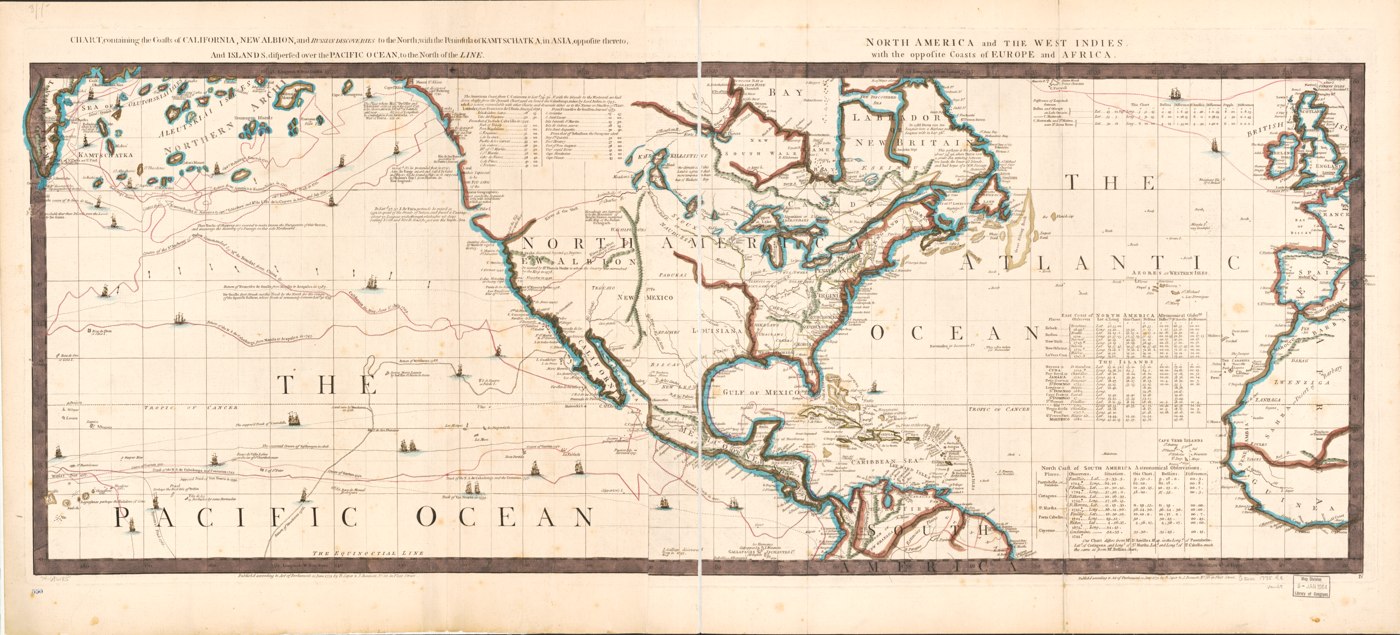
Chart, containing the coasts of California... North America and the West Indies
1775 · Map
Robert Sayer and John Bennett -- a sweeping chart spanning the Pacific to the West Indies and the coasts of Europe/Africa.
Robert Sayer and John Bennett ran one of London's largest map and print businesses; their firm's stock later passed to Laurie and Whittle, whose maps remained in print well into the 19th century -- a reminder that popular charts were often reprinted and updated across generations of publishers.
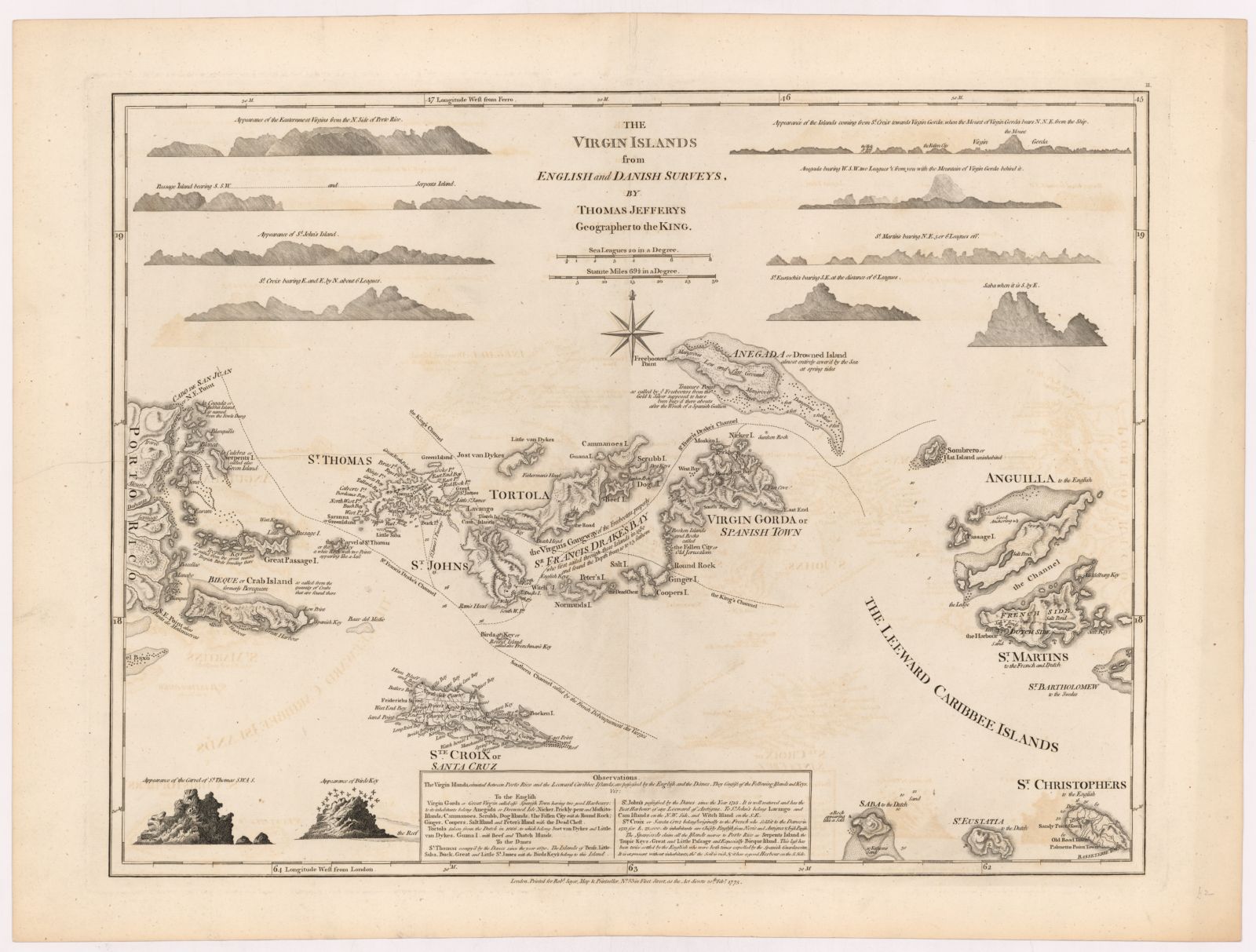
The Virgin Islands from English and Danish Surveys
1775 · Map
Thomas Jefferys' map covering the Virgin Islands, Anguilla, St. Martin, Saba, and St. Eustatius, from The West-India Atlas. Digitized copy held by the Royal Danish Library.
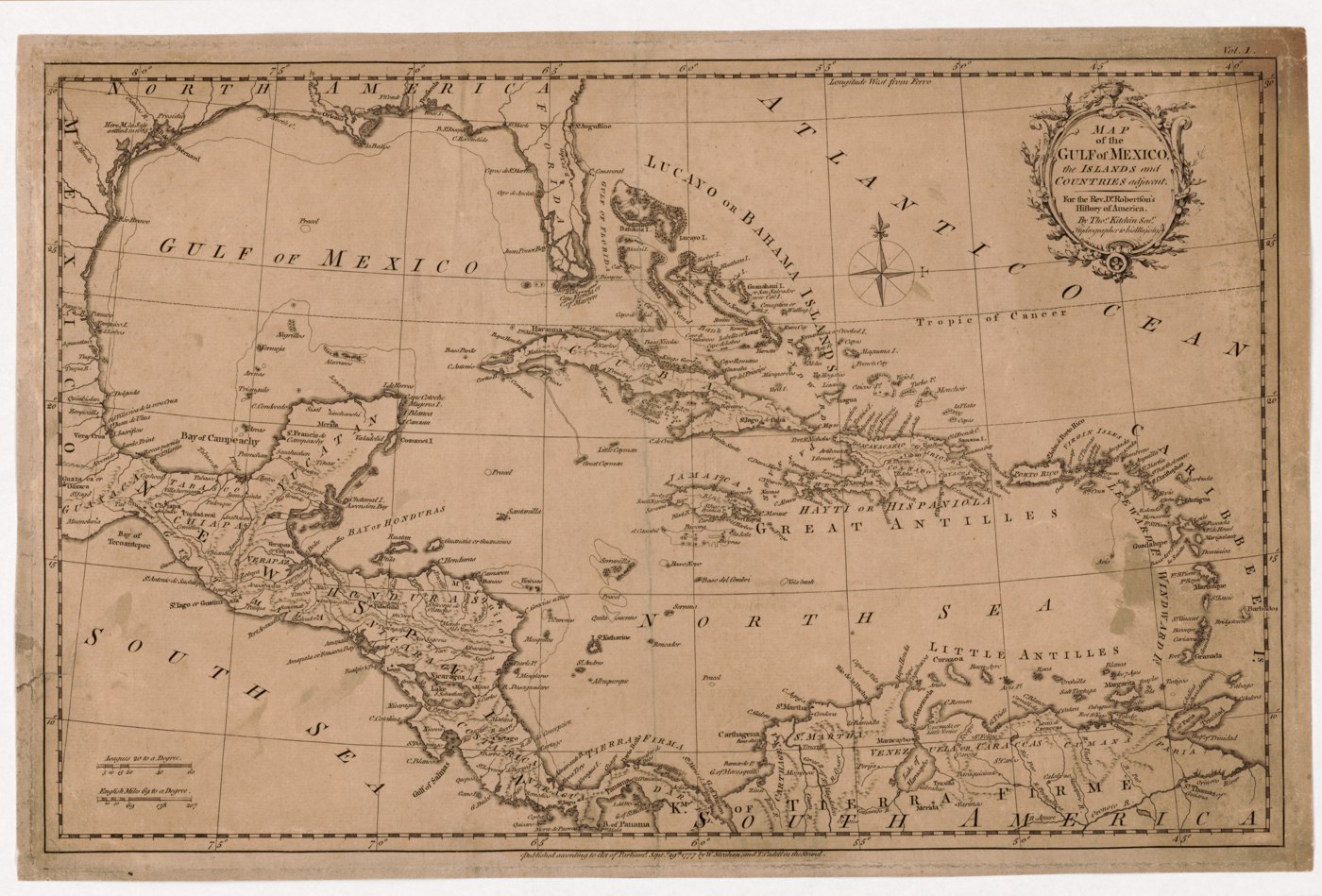
Map of the Gulf of Mexico, the islands, and countries adjacent
1777 · Map
Thomas Kitchin -- prepared for Rev. Dr. Robertson's "History of America."
Thomas Kitchin was hydrographer to King George III and one of the most prolific engravers of the 18th century, reputedly producing over 1,000 maps in his lifetime. This one was commissioned as an illustration for a bestselling history book, not a standalone chart.
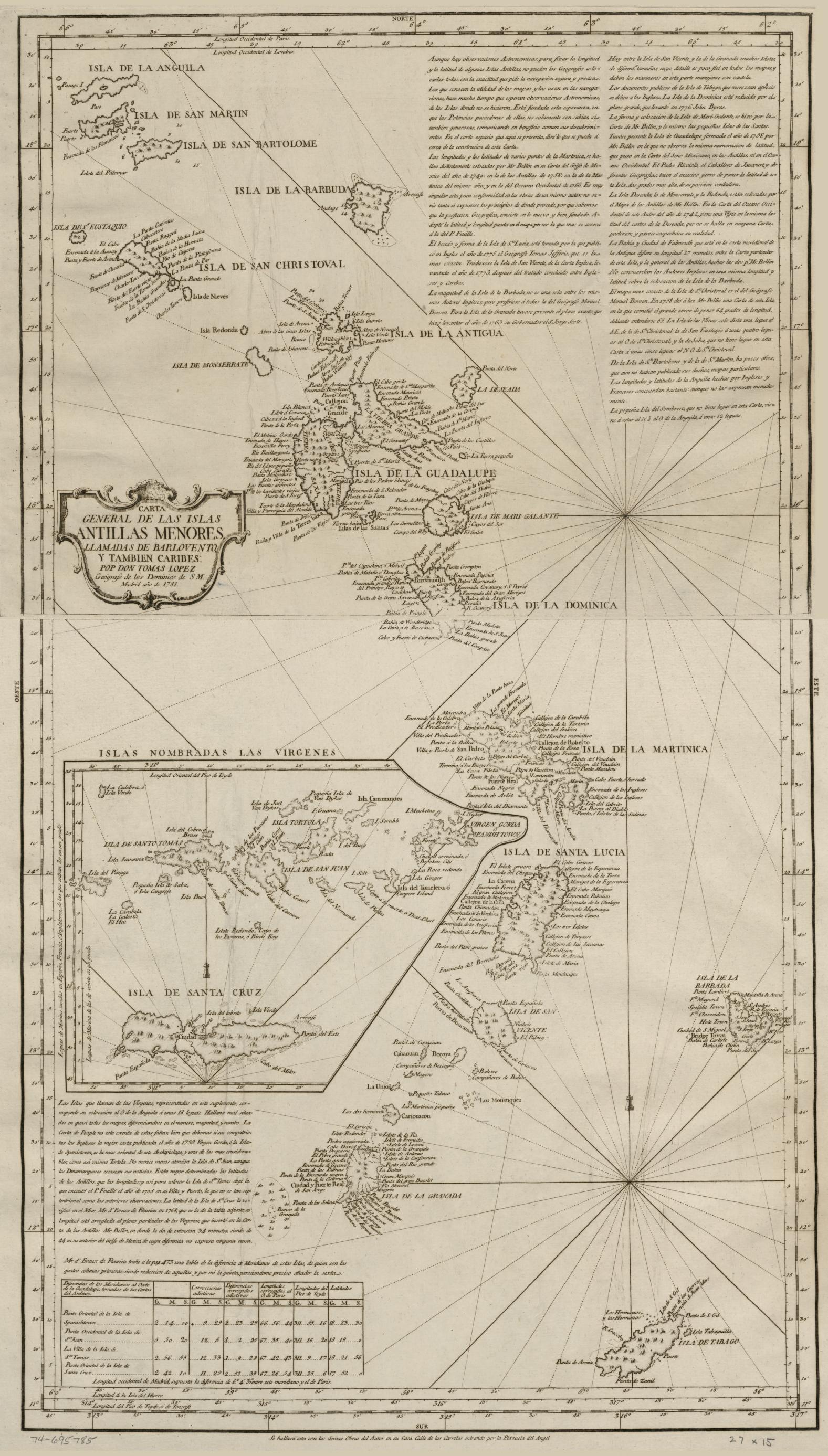
Carta general de las Islas Antillas Menores, llamadas de Barlovento, y también Caribes
1781 · Map
Tomás López, Geographer to the King of Spain -- explicitly titled as covering the Lesser Antilles "desde la isla de la Anguila hasta la de Tobago" (from the island of Anguilla to Tobago).
Tomas Lopez trained in Paris under the leading French geographers of the day before returning to Madrid, where he became the dominant Spanish cartographer of the Enlightenment -- explicitly anchoring this chart's scope on Anguilla itself.
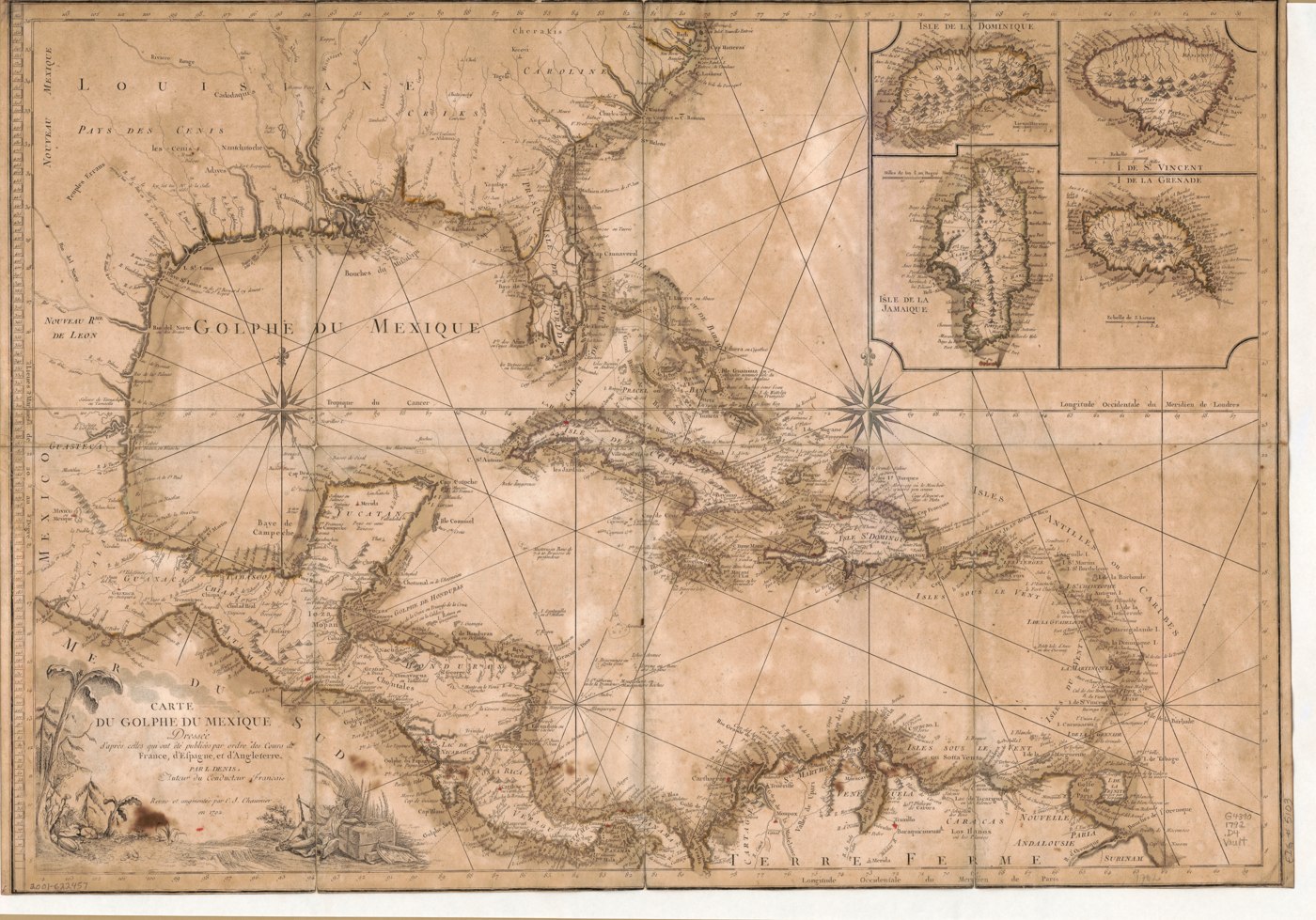
Carte du Golphe Du Mexique
1792 · Map
Louis Denis, Paris -- French chart of the Gulf of Mexico.
Louis Denis was a French globe- and instrument-maker as well as an engraver, active in Paris during a period when French cartography was competing directly with British mapmakers for authority over Caribbean geography.
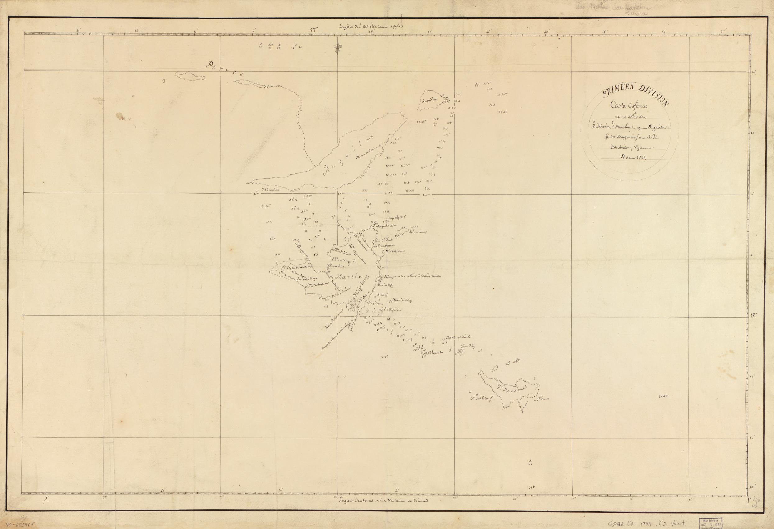
Carta esférica de las yslas de Sn. Martin, Sn. Bartolome y Anguila
1794 · Nautical chart
Spanish nautical chart of St. Martin, St. Barthélemy, and Anguilla -- the oldest item found in this archive.
A Spanish nautical chart from an era when Madrid still closely guarded its American survey data -- Spain's crown treated accurate charts of its colonial waters as a strategic secret for much of the 16th-18th centuries.
CLEAR BEFORE LAUNCH
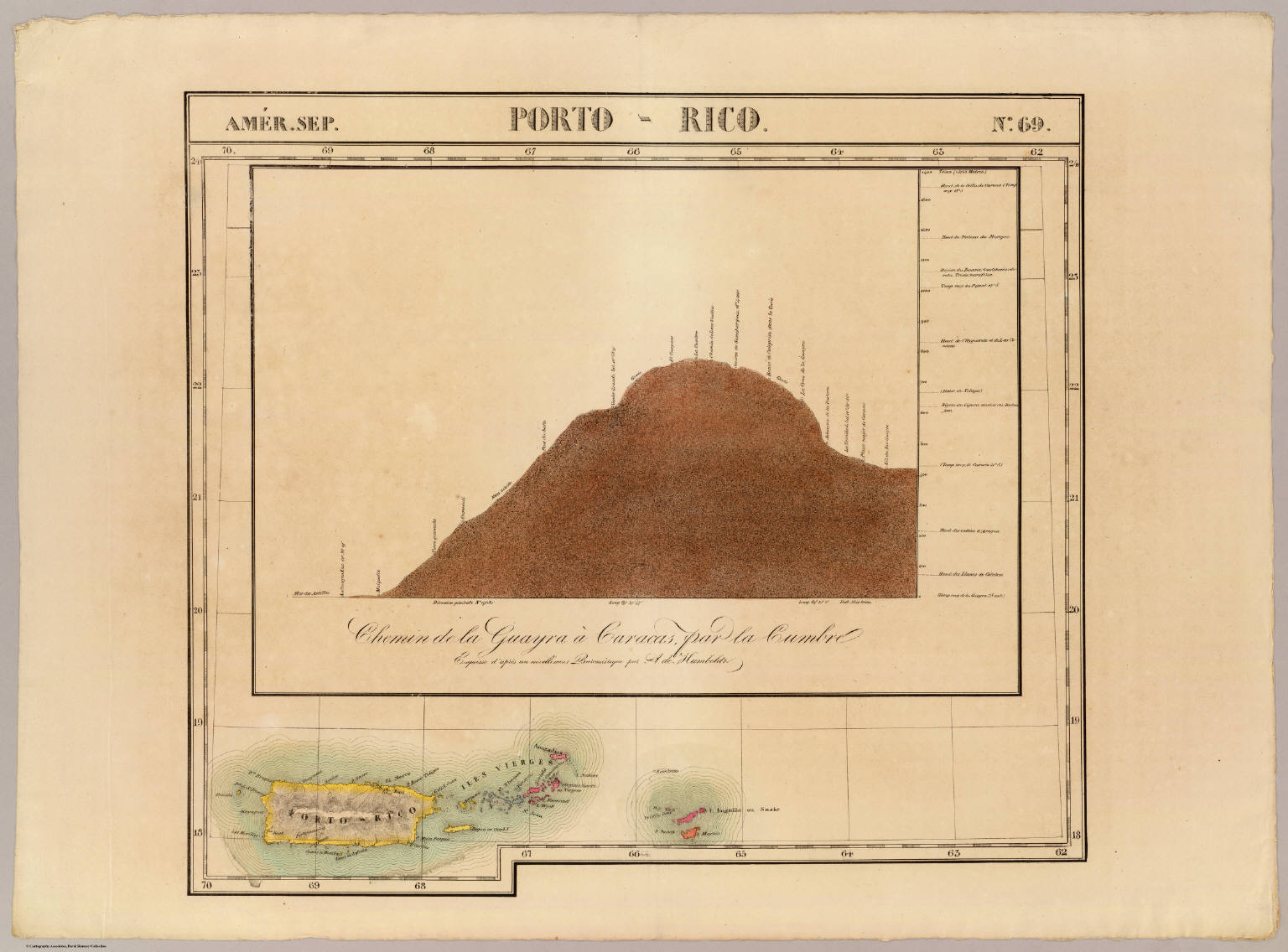
Porto Rico (Sheet 69, Atlas Universel)
1827 · Map
Philippe Vandermaelen's Atlas Universel (Brussels, 1825-1827) -- the first lithographed world atlas, and the first atlas with every map on the same scale. This sheet's own catalog description confirms it "covers also the Virgin Islands, Anguilla and Saint Martin."
Philippe Vandermaelen founded the world's first geographical institute in Brussels and used the newly-perfected technique of lithography to produce this atlas -- the first ever printed with every sheet at a single, consistent scale, letting readers piece together maps of anywhere on Earth.
CLEAR BEFORE LAUNCH
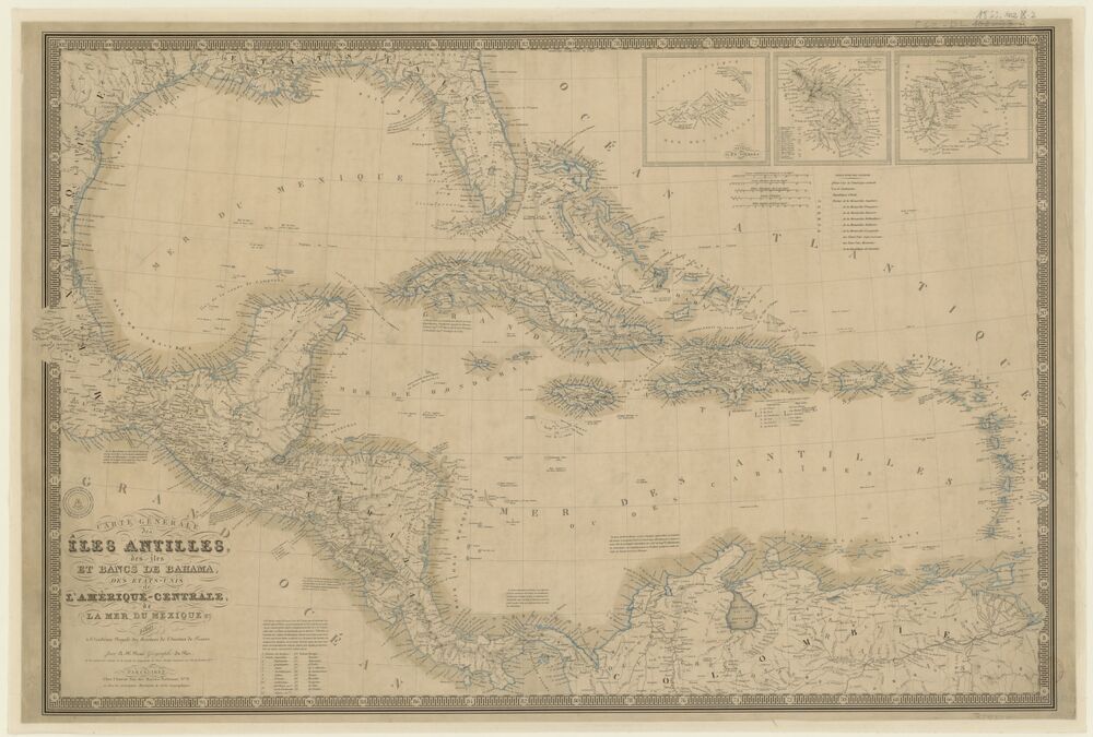
Carte générale des îles Antilles
1832 · Map
A.H. Brué's general chart of the Antilles, Bahama islands and banks, Central America, and the Gulf of Mexico.
A.H. Brue held the title of official geographer to King Louis-Philippe of France, part of a 19th-century state tradition of appointing a royal cartographer to oversee France's official mapping output.
CLEAR BEFORE LAUNCH
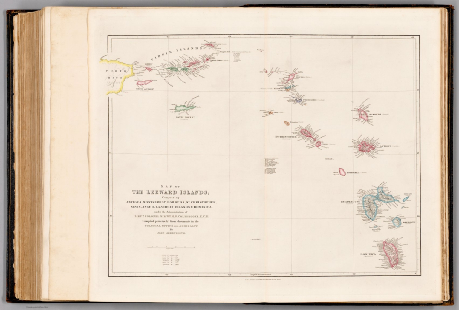
Map of The Leeward Islands
1858 · Map
John Arrowsmith's map of Antigua, Montserrat, Barbuda, St. Christopher, Nevis, Anguilla, the Virgin Islands & Dominica, compiled from Colonial Office and Admiralty documents.
Part of the 19th-century wave of commercial atlases, when improving lithographic printing let publishers issue far more detailed and affordable regional maps than the old engraved-copperplate era allowed.
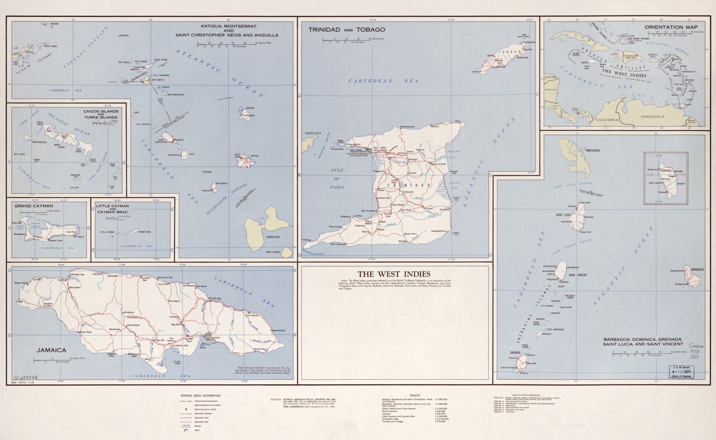
The West Indies. 11-58
1958 · Map
US Central Intelligence Agency reference map.
A 1958 CIA reference map from the final years before Caribbean decolonization accelerated -- within a decade, most of the British possessions it depicts would begin the path toward independence or, in Anguilla's case, a renegotiated relationship with Britain.
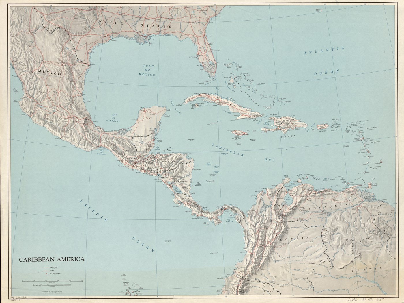
Caribbean America. 4-61
1961 · Map
US Central Intelligence Agency reference map.
Produced in 1961, the same year as the Bay of Pigs invasion -- a period when US intelligence agencies were mapping the Caribbean with unusual intensity as Cold War tensions in the region peaked.
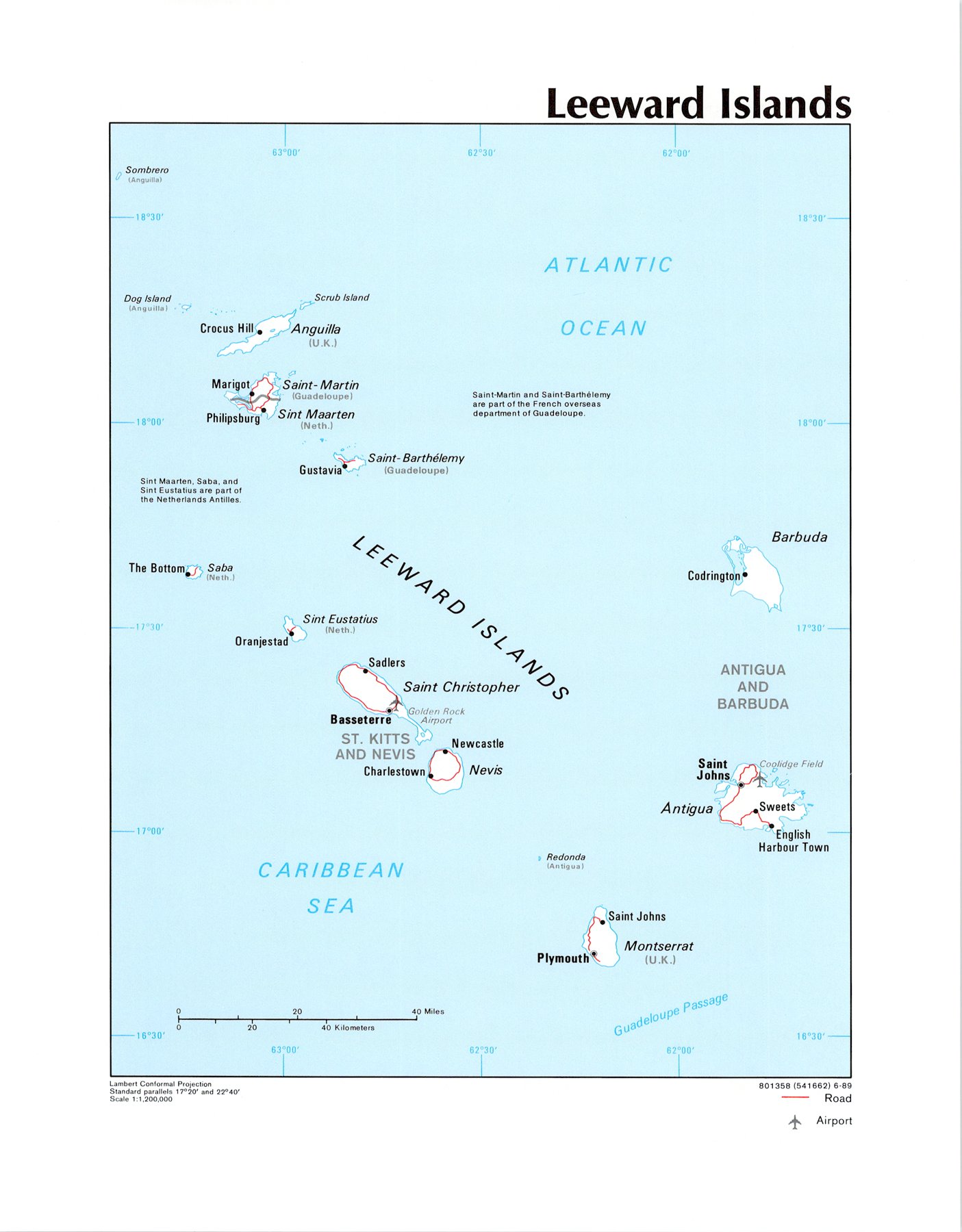
Leeward Islands
1989 · Map
CIA-produced reference map (Records of the CIA, RG 263), explicitly labeling Sombrero, Dog Island, and Scrub Island as belonging to Anguilla (U.K.).
A Cold War-era reference map produced by the CIA's own cartographic division, part of a vast mid-century US intelligence mapping effort that quietly became one of the largest sources of detailed geographic data ever produced.
What exists but isn't here:
- Anguilla Heritage Museum (Colville Petty) holds genuine early-20th-century photos -- salt industry, schooners, the 1964 Queen Elizabeth visit -- but the collection isn't digitized or online.
- British Library EAP596 digitized real Anguilla court records and Sombrero Lighthouse logs (1895-1916), but access is restricted to research purposes only, and the catalog is currently down after the British Library's 2023 cyberattack.
- Two items below (marked in their card) are sourced from David Rumsey Historical Map Collection and Gallica/BnF, whose terms require paid permission for commercial use even of public-domain originals. Included for now during this non-commercial build/testing phase -- must be properly licensed, replaced, or removed before official launch.